 The view only
Guides
Language
EnglishCurrency
US dollar · $Prices on GetYourGuide appear in your chosen currency.
Guide · The route
The Zakynthos off-road buggy route, stop by stop
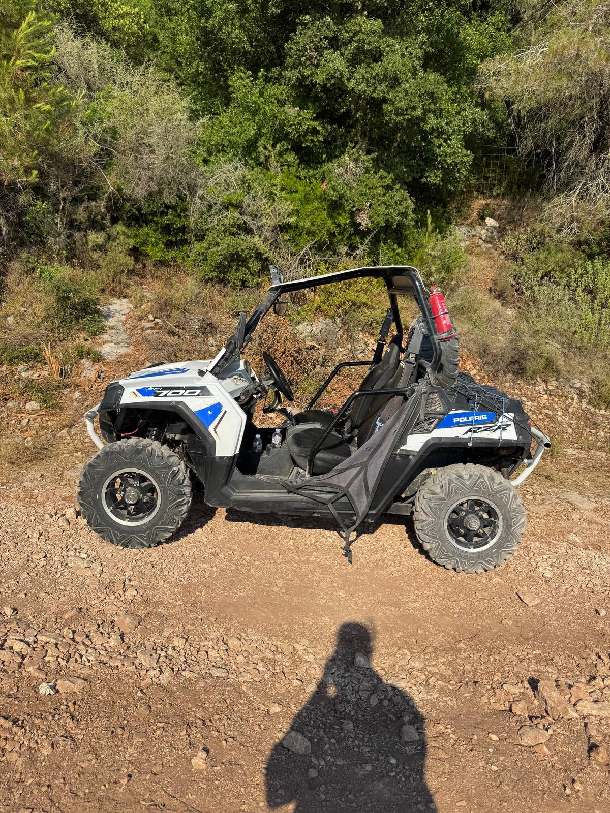
The Zakynthos off-road buggy route climbs out of Laganas into the hills of the south-west, looks down on Turtle Island and the Mizithres rocks, swims at Korakonisi and ends at a farmhouse table in Loucha. Here is every stretch in order.
Check availabilityfrom $403 · free to cancel
Editorial team, buggyrentzakynthos.comUpdated October 19, 2026read in 6 minutes21 sources
The route at a glance
The whole loop in one paragraph
The day draws a loop across the quiet south-west of Zakynthos. You leave the starting point near Laganas, reach Keri, where the dirt begins, and stop at Marathias and the Mizithres viewpoint for photos.123 The operator then adds a stop at the Andronios wells of Agalas before the swim at Korakonisi.56
From Korakonisi the route runs through Agios Leon, on and off road, to Loucha for lunch, then goes off road again through the Loucha Valley and comes down through Kiliomenos to the start.78 The whole loop covers about 80 km, most of it off road.4
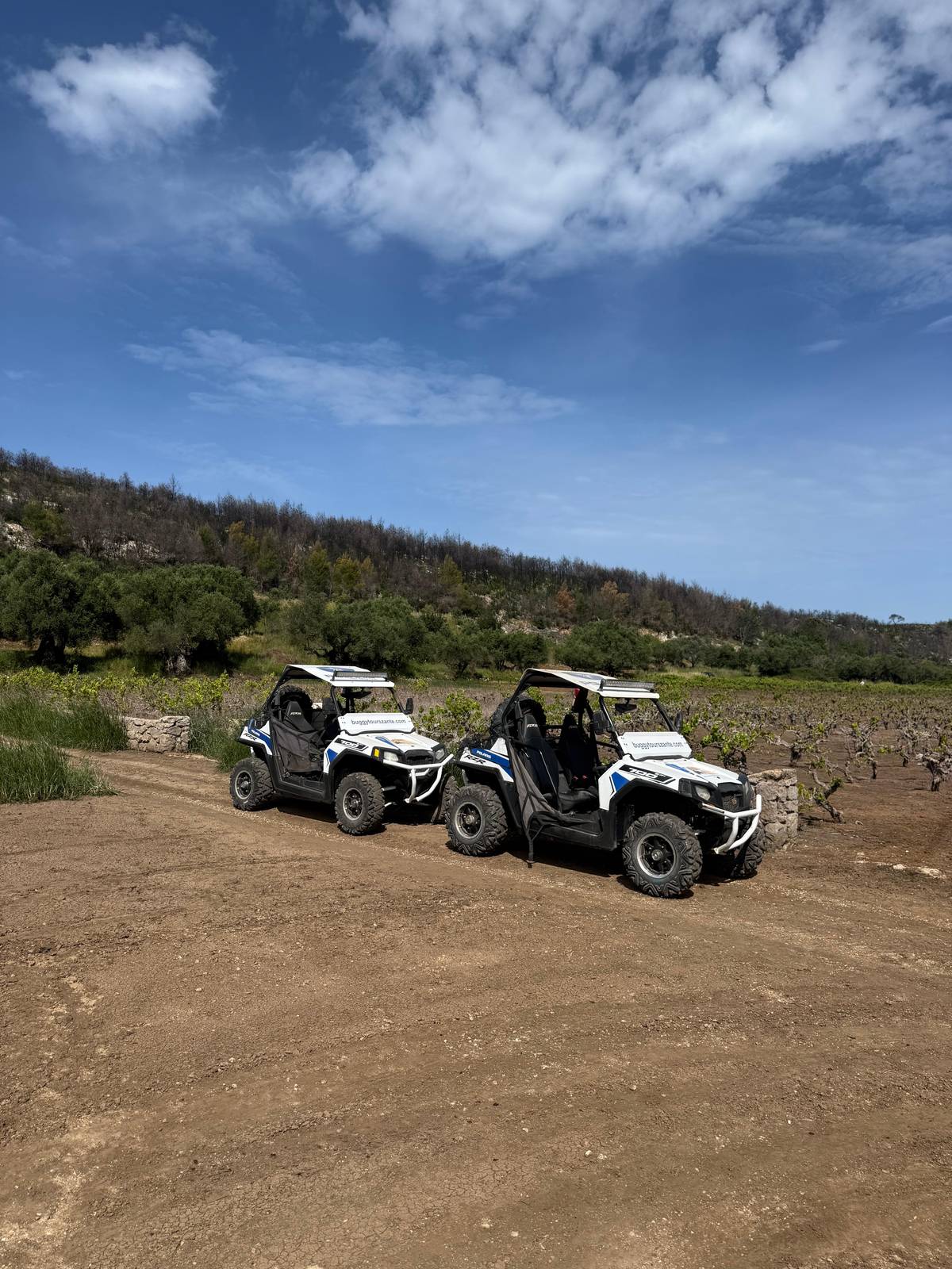
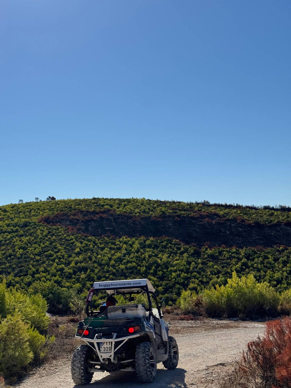
This Zakynthos off-road buggy route stays away from the busy east coast and from the beaches, which suits both the landscape and the rules. It is a day of pine forest, limestone cliffs, dusty farm tracks and small villages, with the sea always somewhere below you on the left or the right. If you have only seen the island from a sun bed in Laganas, this is the other Zakynthos: olive groves, goats on the hillside, chapels at the edge of the track and almost no traffic.
The day in order
From the briefing to the last track
-
8:00
Meeting point
Briefing, eyewear and bandanas at the start near Laganas.
-
8:30
Departure
The group follows the guide's buggy toward Keri.1
-
Morning
Marathias and Mizithres
-
Midday
Korakonisi
1.5 hours to swim, snorkel or relax.
-
Afternoon
Lunch in Loucha
A Greek lunch at an old farmhouse under the trees.
-
About 15:00
Back at the start
Through the Loucha Valley and Kiliomenos.8
Keri and the forest above Turtle Island
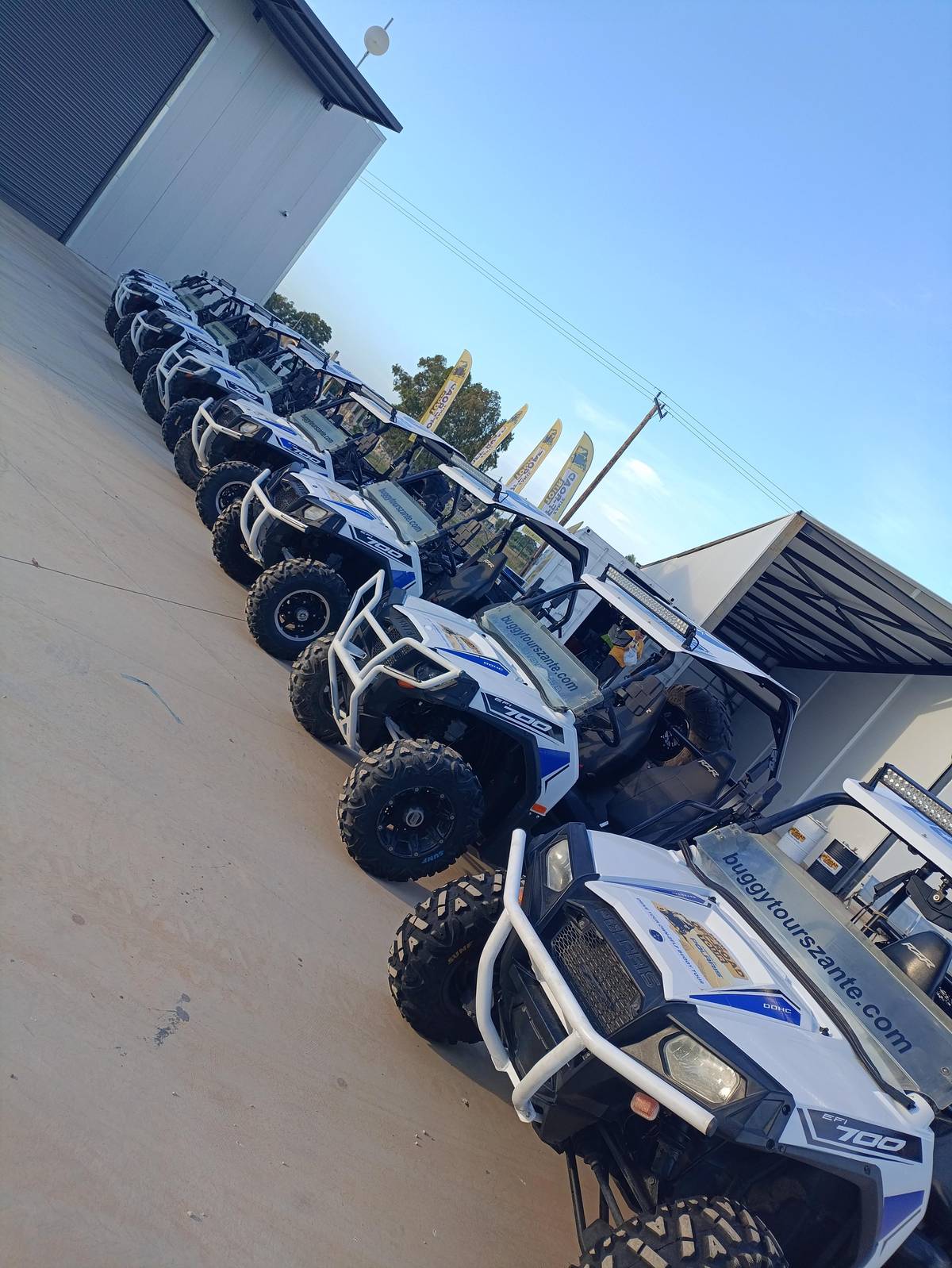
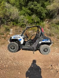
The off-road part of the day begins about 20 minutes after the start, when the group reaches Keri.1 Until then you are on ordinary roads, getting used to the steering and the brakes of the Polaris RZR while the guide sets a steady pace in front. Use these first minutes well. Find a comfortable seat position, test the brakes gently, and leave a sensible gap to the buggy ahead, because the dust it throws up thickens the moment the tarmac ends.
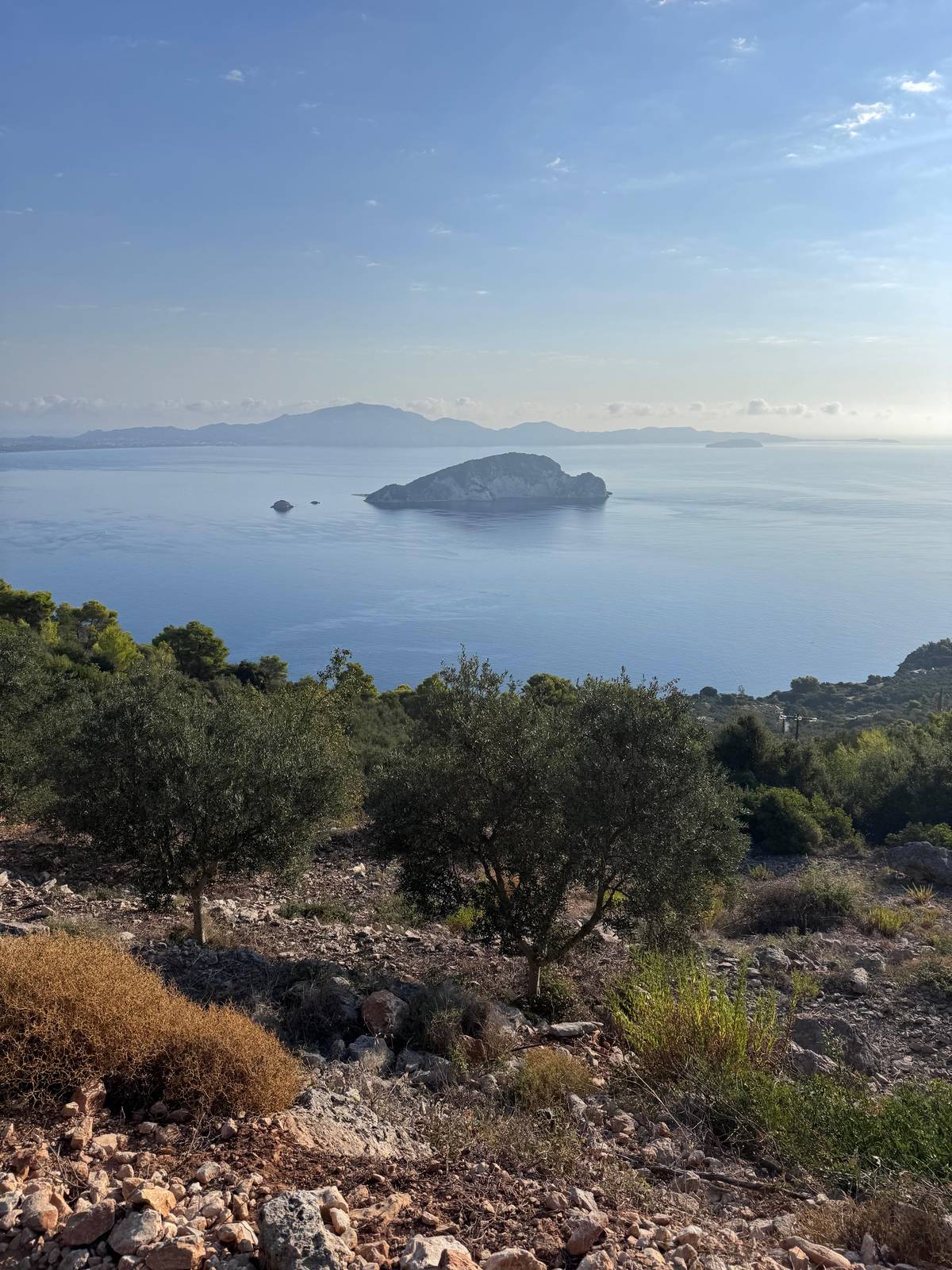
The first stop is at Marathias, for panoramic photos of Marathonisi, the islet visitors call Turtle Island; then the drive continues through the dense Marathias forest.2 Marathonisi lies inside the National Marine Park of Zakynthos, which covers Laganas Bay and its islets.9
From up here you understand why the buggies keep their distance from the sand. Loggerhead turtles nest on the beaches of Laganas Bay from mid-May to late August, and the park does not allow cars, motorbikes, bicycles, horses or dogs on its nesting beaches.1011 The view from the hill is the closest a vehicle should get.
Stop by stop
Where the buggies stop and why
| Stop | What you do | Good to know |
|---|---|---|
| Marathias | Photos of Turtle Island | Then the forest drive |
| Mizithres | Photos from above | High cliffs, loose ground |
| Agalas | The Andronios wells | Named on the operator's page |
| Korakonisi | Swim, snorkel or relax | 1.5 hours, rocky shore |
| Loucha | Greek lunch | Soft drinks, no alcohol |
| Loucha Valley | Off road home | Back about 15:00 |
Stops as the listing and the operator's own page give them.235128
Three highlights
Mizithres, Korakonisi and Loucha by land
The view only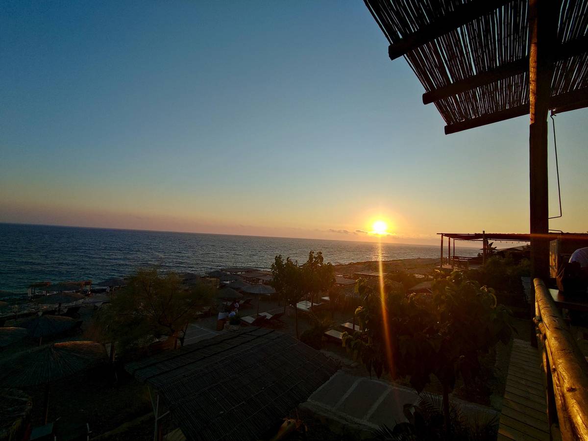 Arch and cave
 Swim and lunch
Decision helper
Which stretch will you love most?
Match the route to what you came for
The entire tour covers approximately 80km in distance, most of which is off-road.
The Mizithres viewpoint
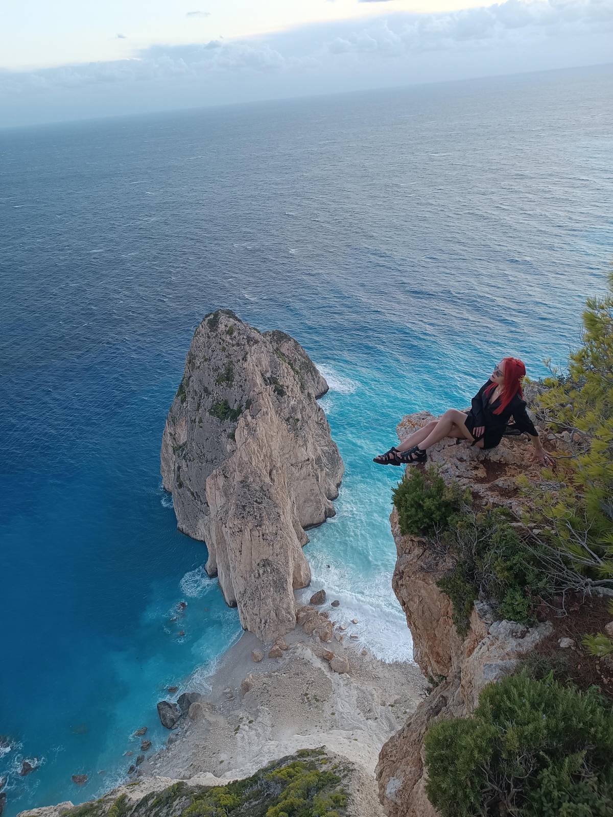
The second stop is above the Mizithres viewpoint, again for photos.3 Below the cliff edge, pale rocks rise out of deep blue water, and on a clear morning the colour of the sea around their feet looks almost unreal against the white stone.
This is the stop for cameras, so give yourself a minute to look before you shoot. Stand back from the edge, keep the bandana and the eyewear the operator provides in the buggy, and let the guide point out where the path to the best angle is.13 The cliffs here are high and the ground is loose in summer.
Mizithres lies on the south-west coast, the stretch where the Keri Caves open to the sea, and the van tour that visits the viewpoint pairs it with Keri village.14 Boats show the caves from below; the buggy day shows the same coast from the top of the cliffs, with the whole curve of the shore laid out in front of you.
Map
From Laganas to Keri, Korakonisi and Loucha
The buggy route across the south-west of the island, then the resorts along the south and east coasts, where visitors stay.
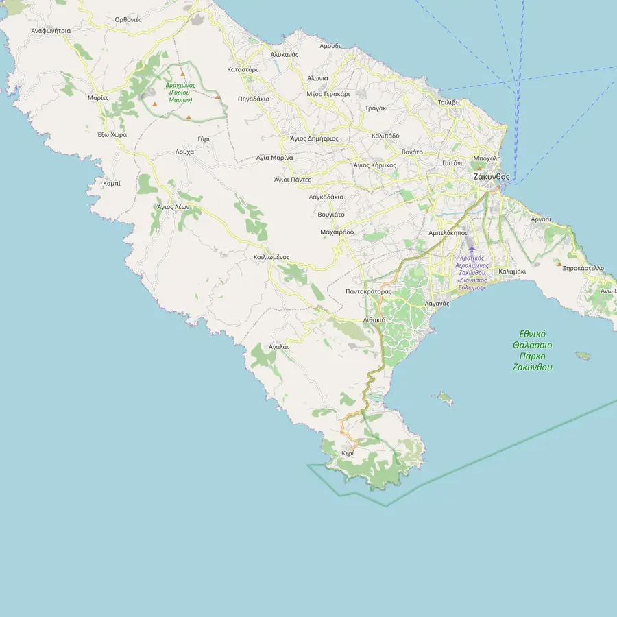 1Laganas2Keri3Marathias4Marathonisi5Mizithres6Agalas7Korakonisi8Agios Leon9Loucha10Kiliomenos
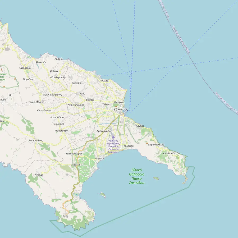 1Laganas11Kalamaki12Zakynthos Town13Argasi14Tsilivi
- 1Laganas
The operator of this site's tour is based in Laganas, on the bay known for its nightlife.1516
In Google Maps ↗ - 2Keri
The off-road part of the day begins here, about 20 minutes after the start.1
In Google Maps ↗ - 3Marathias
The first stop, for photos of Marathonisi, before a drive through the Marathias forest.2
In Google Maps ↗ - 4Marathonisi
Turtle Island, one of the islets inside the National Marine Park.9
In Google Maps ↗ - 5Mizithres
The second stop: a viewpoint above the Mizithres rocks.3
In Google Maps ↗ - 6Agalas
The Andronios wells, named in a local legend about a dragon.5
In Google Maps ↗ - 7Korakonisi
The swim stop, with 1.5 hours to swim, snorkel or rest.
In Google Maps ↗ - 8Agios Leon
The route passes through here, on and off road, on the way to lunch.7
In Google Maps ↗ - 9Loucha
Lunch at an old farmhouse under the trees, then the drive through the Loucha Valley.
In Google Maps ↗ - 10Kiliomenos
The village the route comes down through on the way back to the start.8
In Google Maps ↗ - 11Kalamaki
One of the resorts inside the free pickup area of a land-and-sea day tour.
In Google Maps ↗ - 12Zakynthos Town
The island's town at the head of Laganas Bay, rebuilt after the 1953 earthquake.17
In Google Maps ↗ - 13Argasi
Another resort inside that tour's free pickup area.
In Google Maps ↗ - 14Tsilivi
A resort on the east coast, also inside that free pickup area.
In Google Maps ↗
Checklist
What to have for each stretch
01
Driving
- Sports shoes and clothes that can get dirty
- Sunglasses under the eyewear
- Your driver's license
02
Swim and lunch
- Swimwear, towel and water shoes
- Sunscreen for the cove
- A little cash, only for a drink at the cove
Video
A drive on Zakynthos mountain roads on a beach buggy
Nothing is fetched from YouTube until you press play.
Agalas and the legend of the wells
The operator lists a third stop at Agalas, at a countryside spot known as the Andronios wells.5 It is a quieter halt than the viewpoints, a chance to stretch, drink some water and shake off the dust before the drive to the coast. It is also a good moment to ask the guide what the next stretch of track is like, and to wipe the dust off your sunglasses before the descent to the sea.
The name comes with a story. Local legend, the operator says, holds that a dragon called Andronios made the 12 wells of Agalas village and gave them his name.5 It is the kind of tale every Greek village seems to keep, and hearing it under the trees is part of the charm of a day spent away from the resorts.
This stop appears on the operator's own page but not in the GetYourGuide listing, which jumps from the forest and the viewpoint straight to the swim.5 Treat it as part of the plan the guide follows, not a promise; on a hot day or with a slow group, the order and length of the stops can shift.
The swim stop at Korakonisi
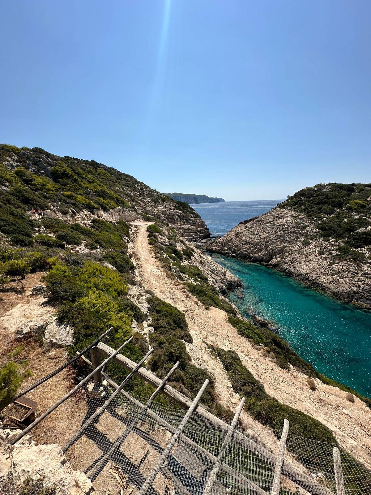
Korakonisi is the swim stop of the day: the listing gives 1.5 hours to swim, snorkel or simply relax. After a morning of dust, the clear water in the narrow rocky inlet feels like the reward the whole route was built around.
Bring a swimsuit, a towel and water shoes, because the shore is rock rather than sand. The operator recommends exactly those, and it notes that you might want a little money only if you plan to buy a drink here.1318 A mask and snorkel are worth packing too, since the listing names snorkeling among the things to do.
The spot has its own landmarks: a natural rock arch and Alitzerini Cave, which a 4x4 sunset listing names as one of its stops. If the sea is rough, swim only where the guide says it is safe, and keep an eye on each other in the water; a rocky cove asks for more care than a sandy beach.
Lunch at a farmhouse in Loucha
From Korakonisi the buggies head north through Agios Leon, partly on tarmac and partly on tracks, to Loucha.7 Lunch is a traditional Greek meal at an old farmhouse under the shade of big trees, with unlimited soft drinks.
The operator describes the lunch as private to the group and vegan friendly, and it serves no alcohol, which makes sense with an afternoon of driving still to come.12 Expect home cooking in the style of the island, where food is built on extra virgin olive oil and aromatic herbs rather than strong spices.19
Loucha sits in the hills far from the coast road, and the setting is half the meal: long tables, shade, the sound of insects and nothing else. Take your time here, refill your water and let the food settle; there is no prize for being first back to the buggies, and the afternoon tracks are more fun on a calm stomach.
Back through the Loucha Valley and Kiliomenos
After lunch the final stretch goes off road through the Loucha Valley, then down through Kiliomenos and back to the starting point.8 The listing puts the return at about 15:00, after roughly 80 km of driving.
The route is not fixed in stone. When the wildfire risk is high, Greek Civil Protection may close some forest and mountain trails, and the operator then switches to alternative routes it has chosen in advance.20 If it rains, on the other hand, the tour goes ahead and everyone simply gets wet.21
By the end of the loop you will have crossed much of the island's south-west by land, looked down on Turtle Island and the Mizithres rocks, swum in a rocky cove away from the sun beds and eaten in a hill village far from the resorts. The dust washes out; the views stay.
Your day off road
Drive the hills of Zakynthos yourself
Your own Polaris RZR, a local guide, a swim stop and a farmhouse lunch.


You ask,we answer.
How long is the route?
About 80 km. The operator says most of it is off road.4
Where does the off-road part begin?
At Keri. About 20 minutes after the start.1
Do you drive on the beaches?
No. The National Marine Park does not allow cars or motorbikes on its nesting beaches.11
How long is the swim stop?
1.5 hours. At Korakonisi, to swim, snorkel or relax.
Where is lunch?
In Loucha. At an old farmhouse under the trees, with unlimited soft drinks.
What time do you get back?
About 15:00. The listing gives that as the return time to the starting point.
Can the route change?
Yes. In high wildfire risk some trails close, and the operator uses alternative routes.20
Sources
What this text is based on
- 1Zante Off-Road Tour (the operator of tour 416357)Zante Off-Road Tour - Buggy Tours in Zante Zakynthos Greece↩
- 2Zante Off-Road Tour (the operator of tour 416357)Zante Off-Road Tour - Buggy Tours in Zante Zakynthos Greece↩
- 3Zante Off-Road Tour (the operator of tour 416357)Zante Off-Road Tour - Buggy Tours in Zante Zakynthos Greece↩
- 4Zante Off-Road Tour (the operator of tour 416357)Zante Off-Road Tour - Buggy Tours in Zante Zakynthos Greece↩
- 5Zante Off-Road Tour (the operator of tour 416357)Zante Off-Road Tour - Buggy Tours in Zante Zakynthos Greece↩
- 6Zante Off-Road Tour (the operator of tour 416357)Zante Off-Road Tour - Buggy Tours in Zante Zakynthos Greece↩
- 7Zante Off-Road Tour (the operator of tour 416357)Zante Off-Road Tour - Buggy Tours in Zante Zakynthos Greece↩
- 8Zante Off-Road Tour (the operator of tour 416357)Zante Off-Road Tour - Buggy Tours in Zante Zakynthos Greece↩
- 9National Marine Park of ZakynthosProtected Area↩
- 10National Marine Park of ZakynthosSea Turtle↩
- 11National Marine Park of ZakynthosProtection measures for the sea turtle nesting beaches↩
- 12Zante Off-Road Tour (the operator of tour 416357)Zante Off-Road Tour - Buggy Tours in Zante Zakynthos Greece↩
- 13Zante Off-Road Tour (the operator of tour 416357)Zante Off-Road Tour - Buggy Tours in Zante Zakynthos Greece↩
- 14Region of the Ionian IslandsZakynthos: the "Fior di Levante"↩
- 15Zante Off-Road Tour (the operator of tour 416357)Zante Off-Road Tour - Buggy Tours in Zante Zakynthos Greece↩
- 16Region of the Ionian IslandsZakynthos: the "Fior di Levante"↩
- 17Greek National Tourism Organisation (Visit Greece)Zakynthos: The Flower of the East↩
- 18Zante Off-Road Tour (the operator of tour 416357)Zante Off-Road Tour - Buggy Tours in Zante Zakynthos Greece↩
- 19Region of the Ionian IslandsZakynthos: the "Fior di Levante"↩
- 20Zante Off-Road Tour (the operator of tour 416357)Zante Off-Road Tour - Buggy Tours in Zante Zakynthos Greece↩
- 21Zante Off-Road Tour (the operator of tour 416357)Zante Off-Road Tour - Buggy Tours in Zante Zakynthos Greece↩